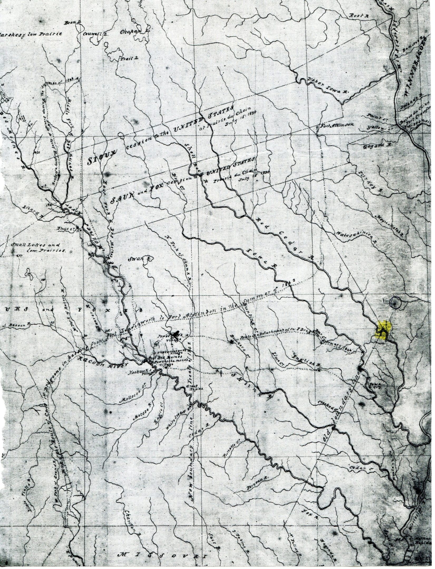
Along the right side of the map is a line indicating a treaty boundary. Note the colored dot indicating the location for a crossing the Red Cedar River (Ivanhoe). Pencil dot and circle are location of future Mt Vernon..
one of first attempts to map the area after the black hawk war and treaty

